Irish sun seekers fret not, according to Met Éireann we could be enjoying yet another heatwave very soon.
After weeks of ongoing sunshine and scorching temperatures, Ireland’s weather has sadly taken a turn for the worst ahead of the June bank holiday.
While the upcoming forecast may look particularly soggy for the month of June, all hope is not lost with warmer days seemingly ahead.
Long-range weather maps are showing a possible surge of heat building over Ireland from early June.
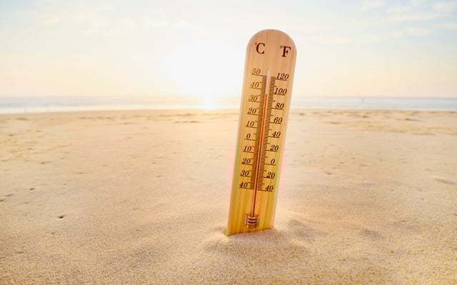
According to the latest data, temperatures could climb during the second week of June, peaking on Tuesday, June 10 with potential highs of 25C.
Met Éireann has also confirmed these projections with its official long-range forecast.
The national forecaster is predicting high pressure from Monday, June 9, bringing ‘more settled and warmer conditions’ that are expected to last up until at least Sunday, June 22.
They said: ‘Monday, June 9 to Sunday, June 15 is showing a signal for higher pressure over Ireland. This will bring more settled and warmer conditions with temperatures increasing slightly above-average across the country. It will be drier also with rainfall amounts below-average nationwide.
‘Confidence is lower for Monday, June 16 to Sunday, June 22, but current indications suggest that high pressure will remain the dominant feature of our weather. Temperatures will be slightly higher than normal, and precipitation is expected to be lower-than-average.’
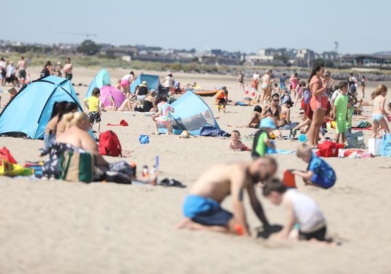

People take in the sun on Burrow Beach in Co. Dublin during a heatwave in 2022. ROLLINGNEWS.IE
The national forecaster further explained the long range system, adding: ‘The extended range forecast can at times provide an insight into weather patterns, however they have generally low skill because forecasts beyond one week become increasingly uncertain due to the chaotic nature of the atmosphere.’
However prior to sunnier conditions, we will have to put up with a bit of rain, with Met Éireann continuing: ‘Friday will be a largely dry day for many with variable cloud and sunshine. Any residual rain and drizzle in the south and southeast will soon clear in the morning, with just well scattered showers following for the rest of the day. Highest temperatures of 16C to 21C . Moderate southwest to west winds, initially fresh to strong near the northwest coast, will ease light to moderate as the day goes on.
‘Mainly dry and bright to begin on Saturday, but a spell of rain, possibly heavy, will soon spread from the west through the morning and afternoon. The rain will clear into the Irish Sea in the afternoon, and will be followed by sunshine and showers, some heavy in the northwest, with the chance of thunder. Highest temperatures of 15C to 20C in moderate to fresh southwest winds, but becoming very windy later near Atlantic coasts, with strong to gale force and gusty southwest winds developing in the evening.
‘Breezy on Sunday with a mix of sunshine and showers, some heavy and possibly thundery. Temperatures will be a little lower than the previous couple of days with highest values of 13C to 17C and it’ll be breezy or rather windy with moderate to fresh and gusty westerly winds, strong at times near coasts.’
*This article was originally published on Extra.ie.


Comments