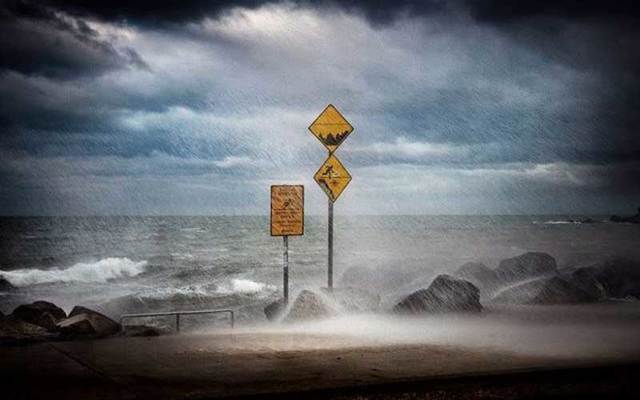
High winds and heavy rain with a risk of coastal flooding are expected on Monday as Storm Brendan approaches Ireland.
Met Éireann has issued two Status Orange wind warnings to come into effect at 7am on Monday morning.
The first orange warning for counties Wexford, Clare, Cork, Kerry, Limerick and Waterford will remain in place until 3pm, while the second warning for counties Donegal, Galway, Leitrim, Mayo and Sligo is valid until midnight.
As #StormBrendan approaches see https://t.co/Cr9ukyJgun for an explanation of our warning levels.
For up to date warnings see https://t.co/ozrQHtoOkt pic.twitter.com/nH4q1T8YBu
— Met Éireann (@MetEireann) January 12, 2020
A Status Yellow wind warning has been issued for the rest of Ireland.
According to the forecast, southerly winds veering southwesterly will reach speeds of 65 to 80km/h with gusts of 110 to 130km/h, highest in coastal areas.
Read More: Reasons why Dublin is great in winter and spring
“There is a significant risk of coastal flooding due to the combination of high spring tides and storm surge,” said the warning.
Breaking waves along the coast can be unpredictable and quickly drag you away. Stay Back, Stay High & Stay Dry! Do not approach breaking waves. #IrishCoastGuard pic.twitter.com/5CtMY3Lq4f
— Irish Coast Guard (@IrishCoastGuard) January 12, 2020
The high winds will be accompanied by heavy rain, which will quickly extend eastwards over the country, with spot flooding likely.
The Coast Guard is advising people to avoid exposed beaches, cliffs and harbors during the storm.
H/T: The Irish Times, RTÉ, BreakingNews.ie


Comments